The Alameda Ridge is a geological feature that runs through six neighborhoods in Northeast Portland, Oregon.
The area is notable for some 400 public stairs originally constructed at the turn of the 20th century, which have become a favorite attraction for walkers and runners.
Learn all about this quirky corner of the city in this visual guide to Alameda Ridge, plus helpful tips for your own urban adventure.
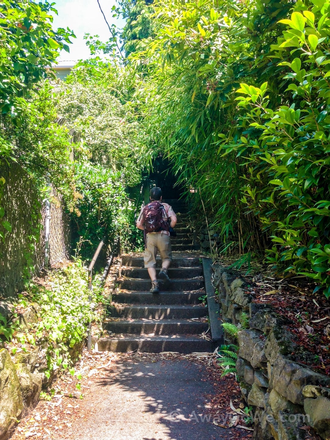
How We Ended Up in Alameda Ridge
In the interest of staying fit, staying close to home, and enjoying the summer weather in the waning days of Lori’s pregnancy, we had fun discovering new neighborhoods in and around Portland.
In that time, we finally tackled Portland’s 4T Trail, and traced the Balch Gulch loop via Pittock Mansion tucked behind NW 23rd Avenue—perhaps our favorite hike in the whole city.
Along the way, we learned about Alameda Ridge and its network of stairs spread out over a few dozen blocks. I happened upon a 2010 Oregonian article detailing 10 somewhat obscure urban walkabouts and Alameda Stairs intrigued me.
Initially, I thought Lori might not be up for the challenge. Oh how wrong I was.
About Alameda Ridge & Stairs
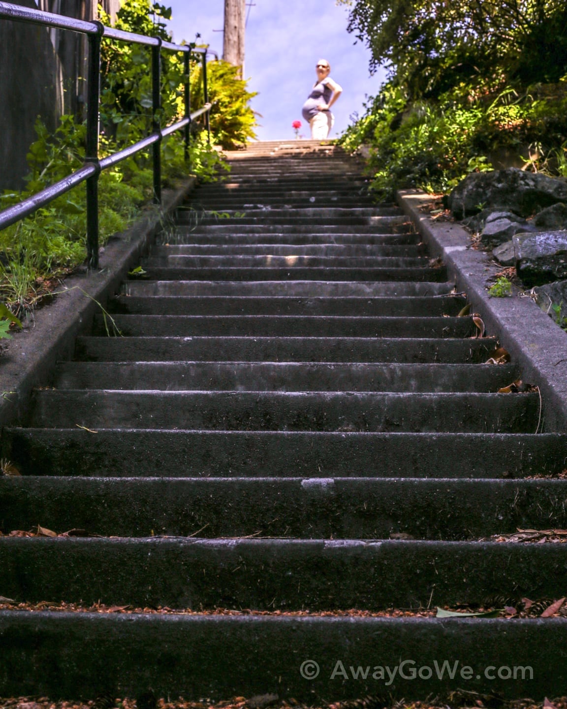
This “hike” boasts a combined 400-800 stair-steps (there are conflicting numbers) criss-crossing a ridge scattered across 30 blocks in Northeast Portland. Alameda Ridge cuts through the neighborhoods of Rose City, Alameda, and Beaumont-Wilshire, among others.
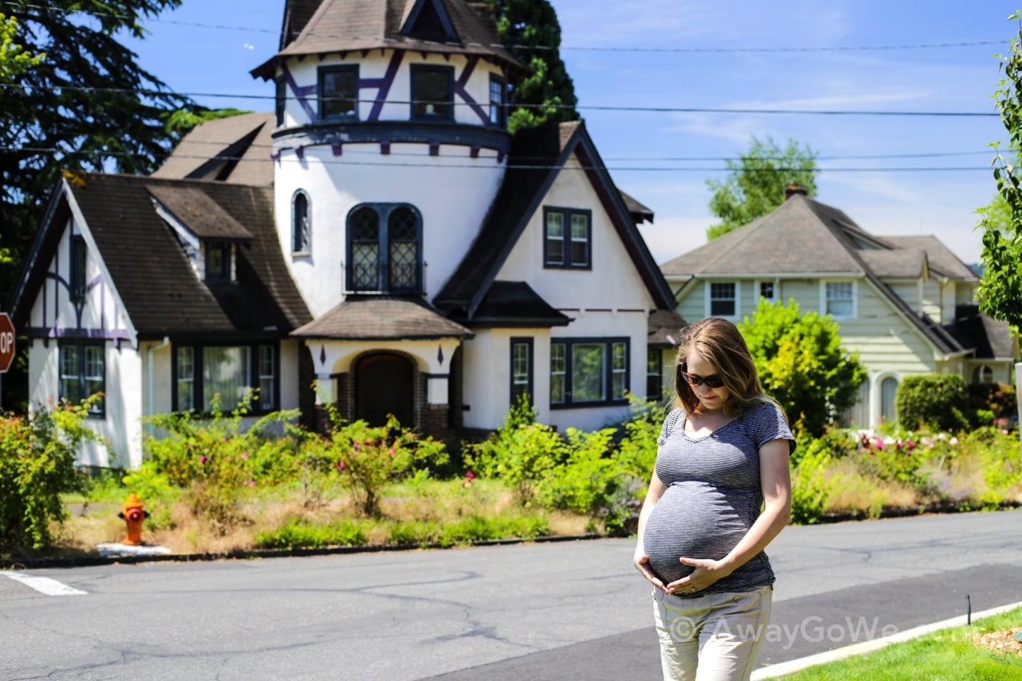
The area is a quirky enclave of historic Tudor, Spanish and contemporary style homes that deviates significantly from the gridded street layout that encircles it. Instead, streets here follow the unique geographic contours of the ridge.
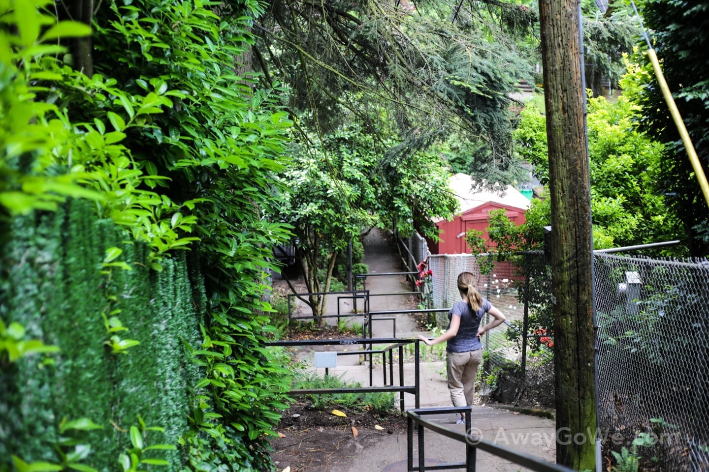
As a result, several seemingly hidden public staircases have been constructed for pedestrians to connect the various parts of the neighborhood. It’s like no other neighborhood in Portland we’ve been to.
Why So Many Freakin’ Stairs?
The sheer number of staircases here seems to stem from two main factors: The geology of the area and the timeframe in which the neighborhood’s layout was originally planned and developed.
As the city of Portland’s gridded layout rapidly expanded eastward at the beginning of the 20th century, Alameda Ridge posed a challenge. Simply wrapping the grid around the six-mile long rise posed a number of challenges, particularly in a time when most people got around primarily on foot.
So, the City of Portland went about constructing these staircases to connect the half dozen neighborhoods being developed along the ridge, and remains the authority maintaining the steps to this day.
With sweeping views offered by the sudden elevation rise on Alameda Ridge, the area became home to some of the city’s wealthiest individuals. This is reflected in the numerous stately historic residences you’re also bound to encounter along the ridge.
Route and “Trailhead”
There are likely a million different ways you can experience the Alameda Ridge stairs of Portland.
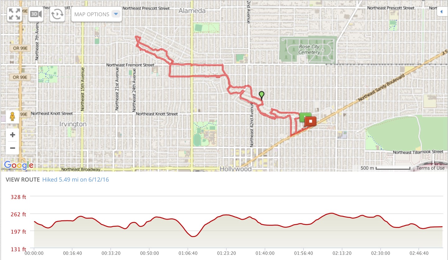
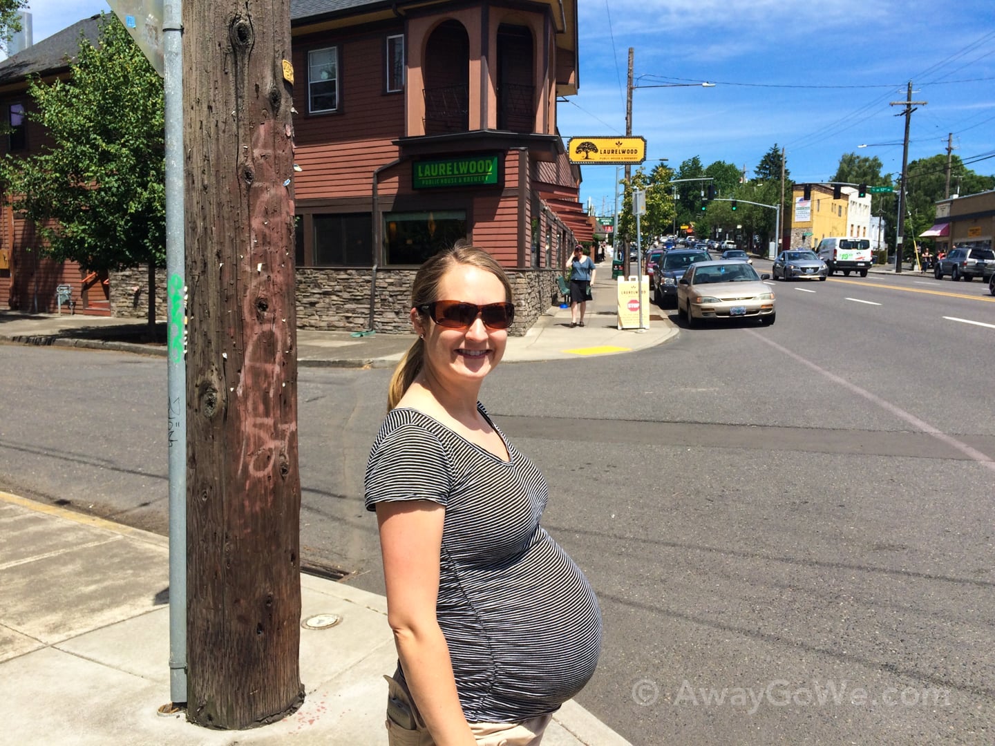
We roughly followed what seems to be one of the more common tracks, beginning and ending at Laurelwood Public House [map], on the far southeastern edge of the ridge.
Beginning our trek at Laurelwood Pub had the two-fold benefit of providing easy access to the track from NE Sandy Blvd., and offering the promise of a nice reward for our efforts in the shape of a delicious local pint (for me) and tasty lunch for the two of us.
From there, the route heads in a general northwest direction, covering roughly 26 blocks going west from NE 50th Ave to NE 24th Ave, and about 10 blocks going north.
The most common turnaround point seems to b the Thomas J. Autzen House [map].
We covered the 5.5 miles route in just under three hours going at a very leisurely pace (with multiple bathroom (i.e. port-a-potty) breaks for the preggo).
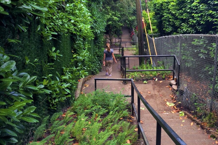
Our “Trail” Report
Here are some highlights from our first-hand experience doing the Alameda Ridge stairs route in NE Portland.
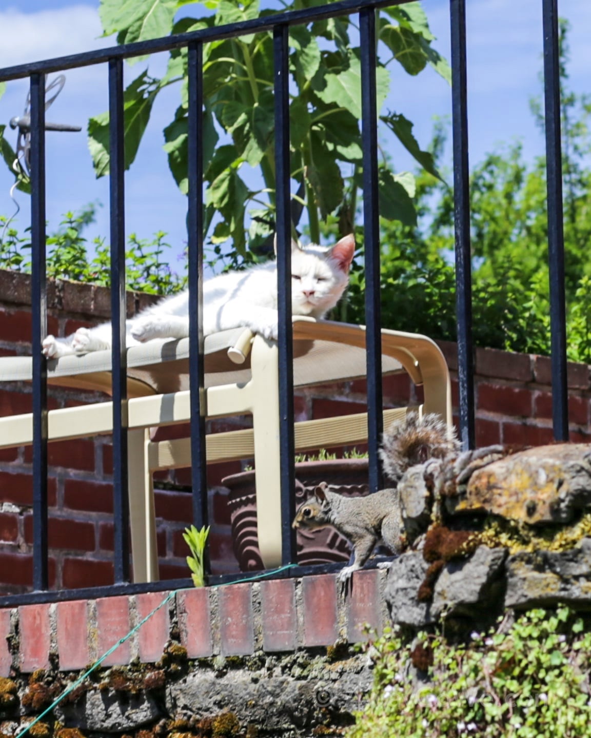
This lazy cat was barely fazed by the squirrel only a couple of feet away. Apparently, it had far better things to do with its time than chase the nutty little rodent around, and it showed.
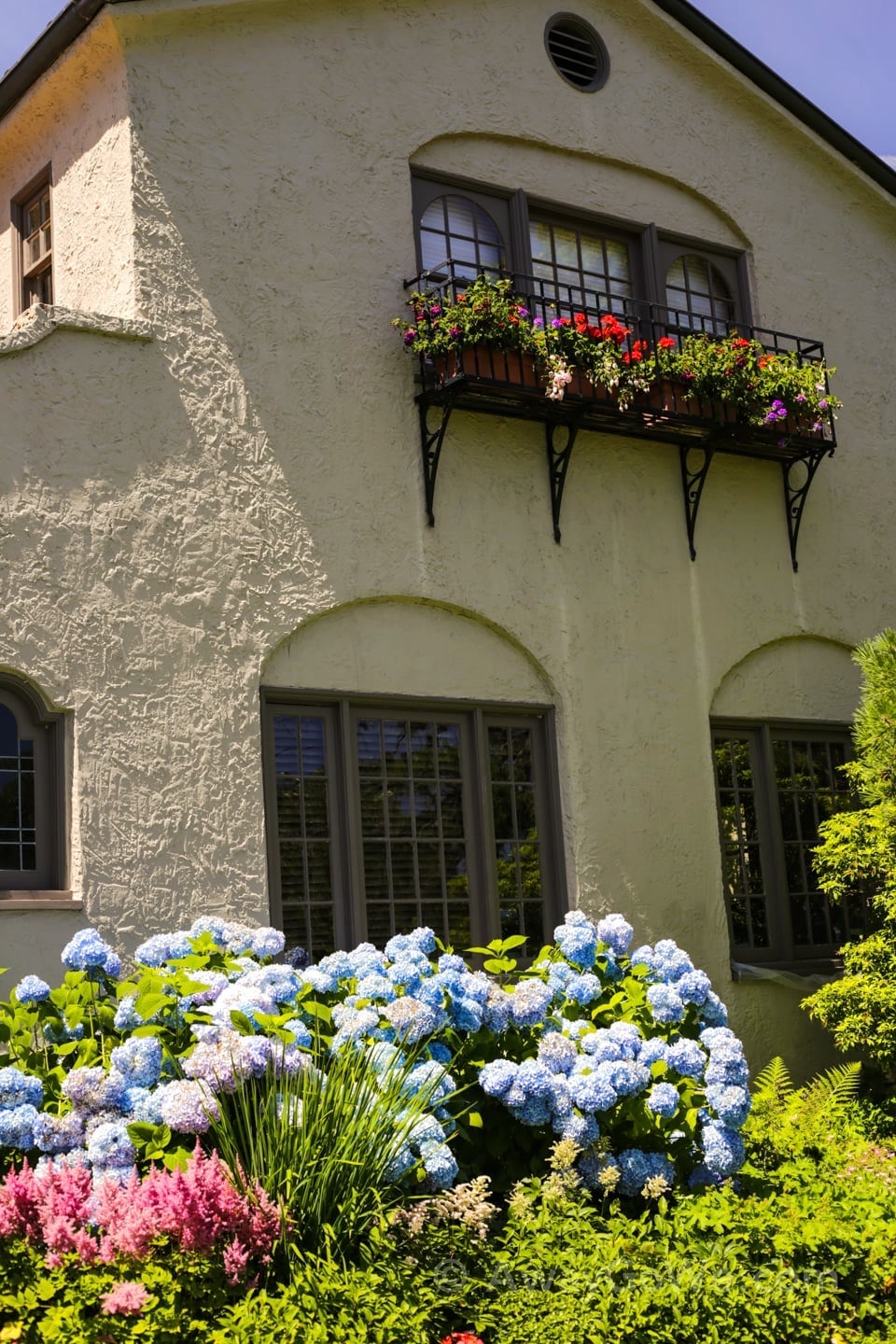
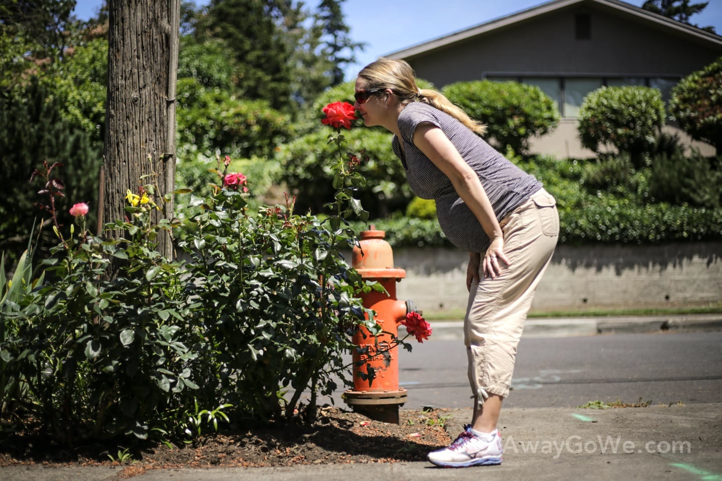
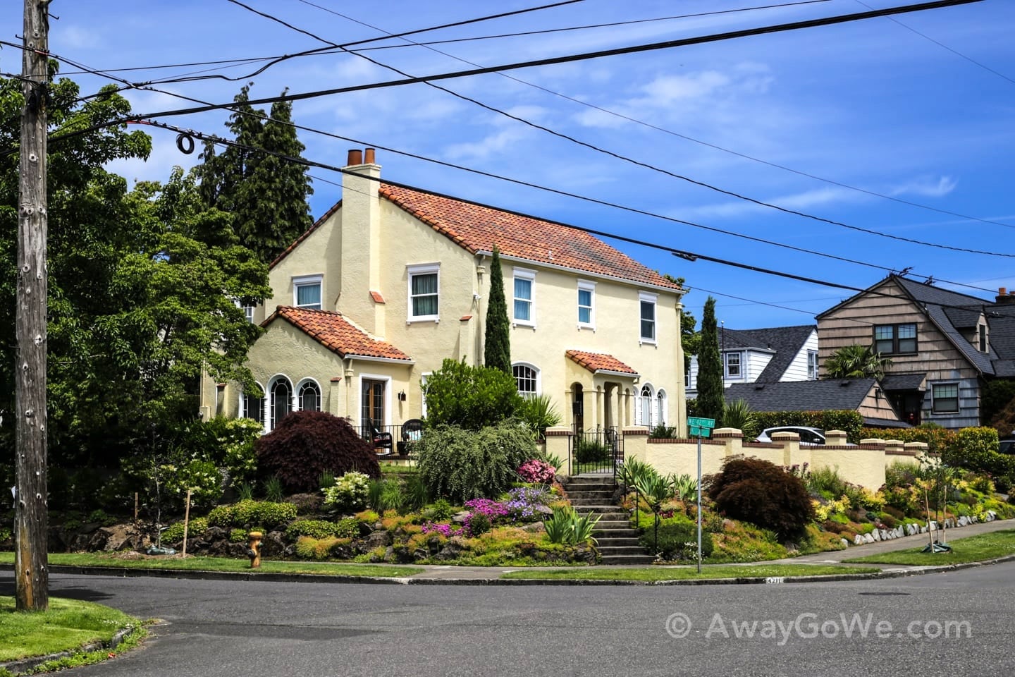
Large and beautiful houses and estates are prominent fixtures along the route. Here in mid-June, we had the added bonus of seeing the many lush and ornate gardens in full bloom as well.
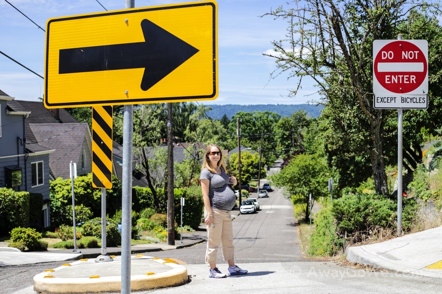
Lori proved she can still knock out five miles at full-term. But that doesn’t mean that nature didn’t call every 5-10 minutes.
Luckily for us, there was a lot of renovation going on in these here parts—and where’s there’s construction, there’s a Honey Bucket!

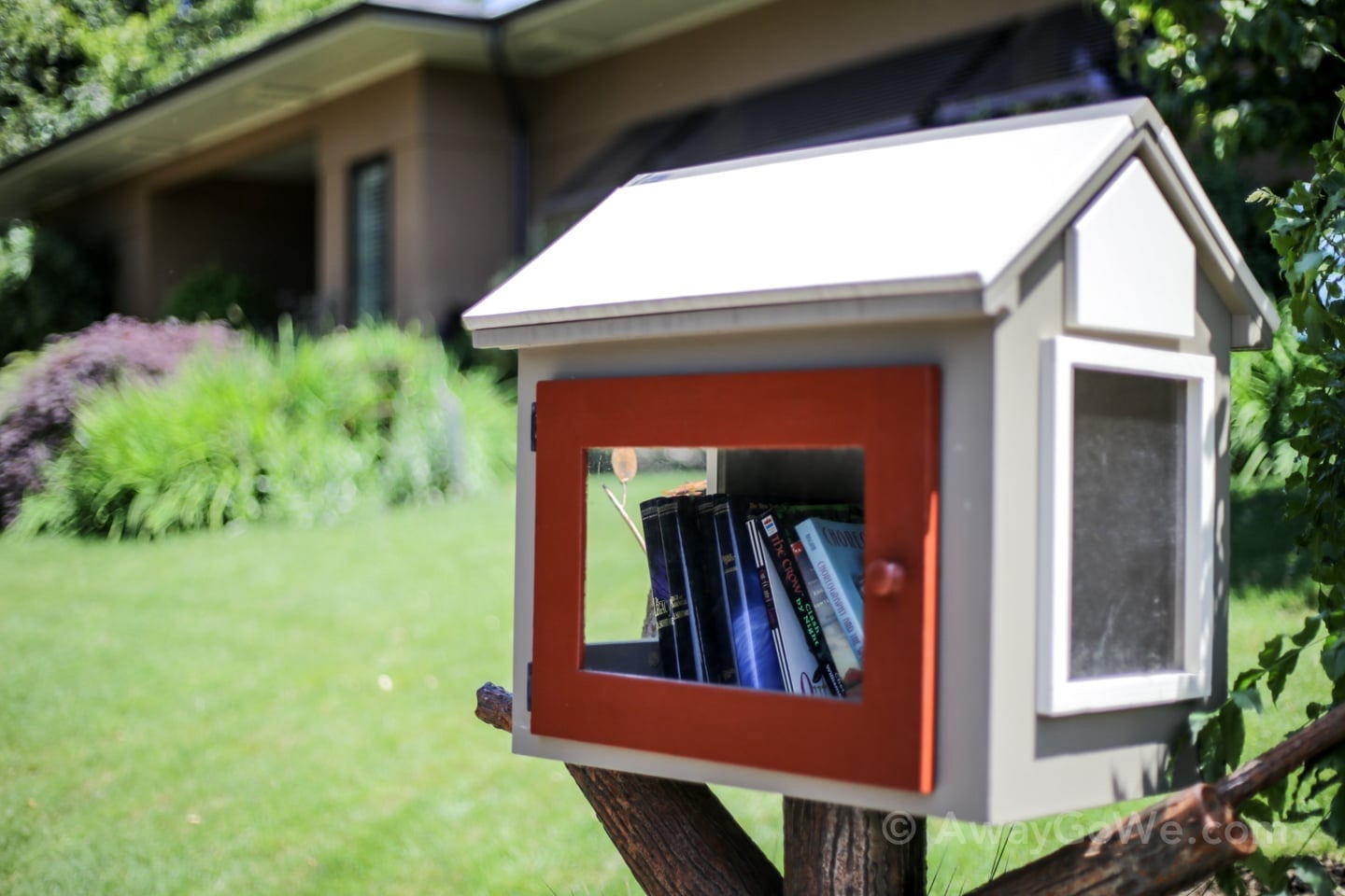
In addition to port-a-potties, we also spotted several of these “Little Free Libraries.”
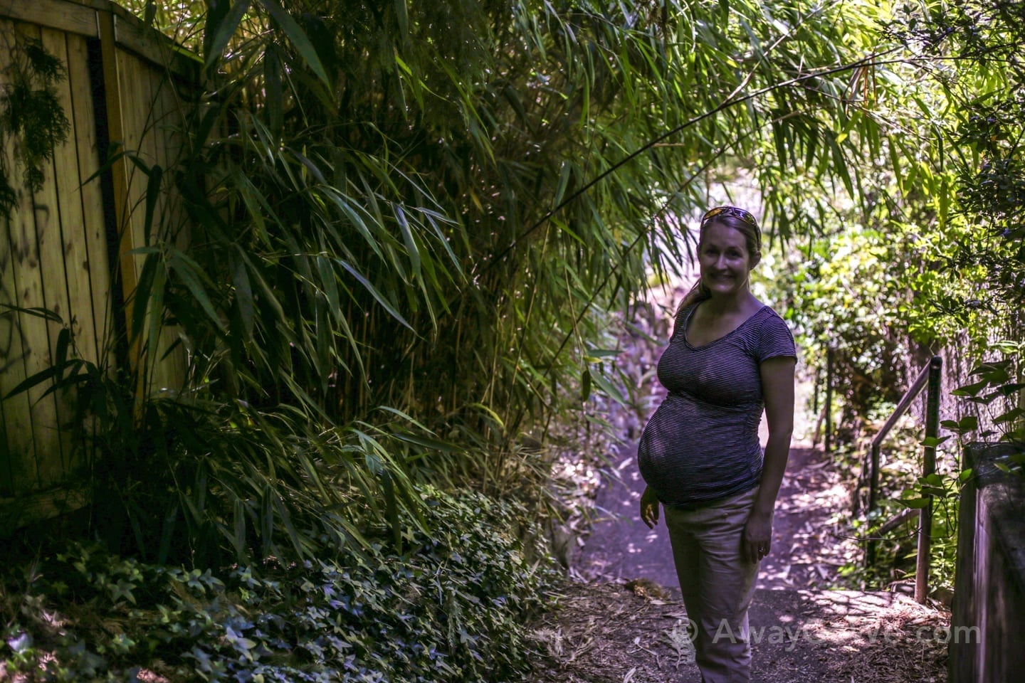
Stands of bamboo are a common feature lining many of the public staircases.

A park bench on the landing of one of the longer sets of stairs—a welcome discovery for both of us.
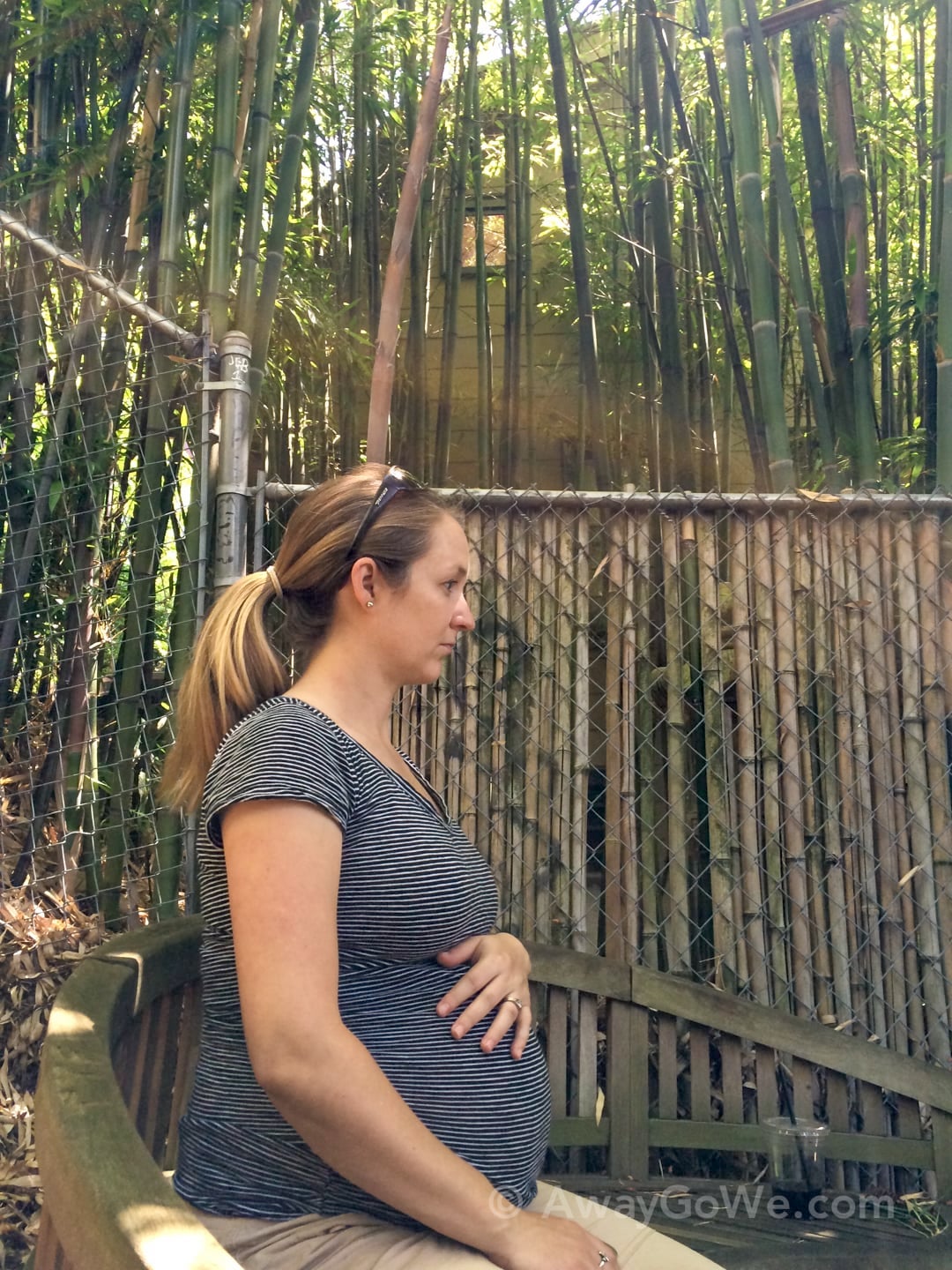
Kicking Baby, Tired Mama.
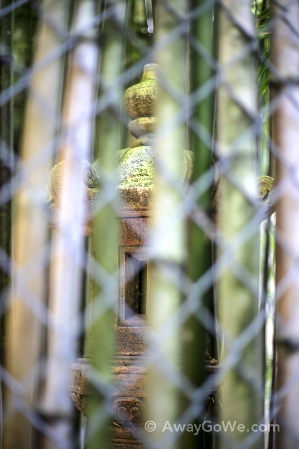
Hidden mysteries behind the bamboo.
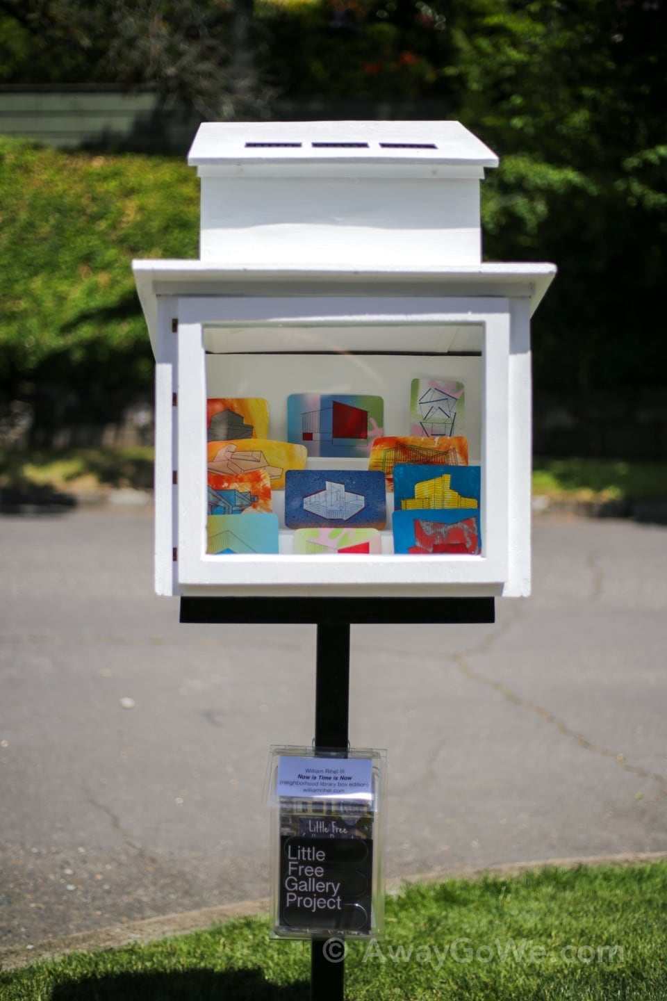
A slightly different take on Little Free Libraries: Little Free Galleries.
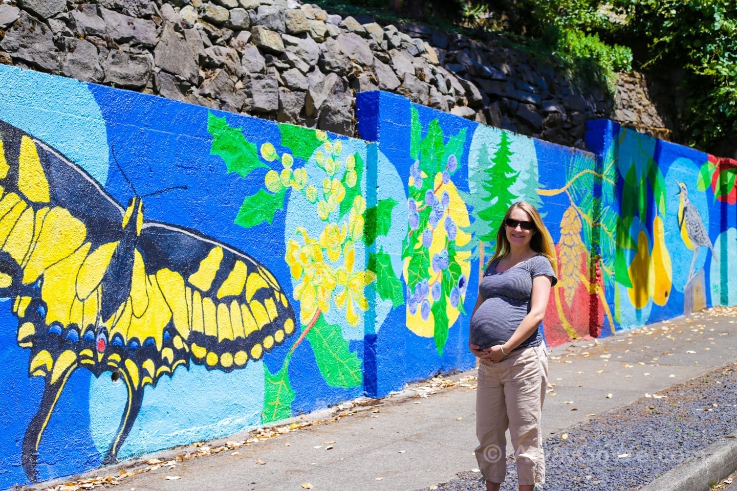
We also encountered some colorful murals along the route.
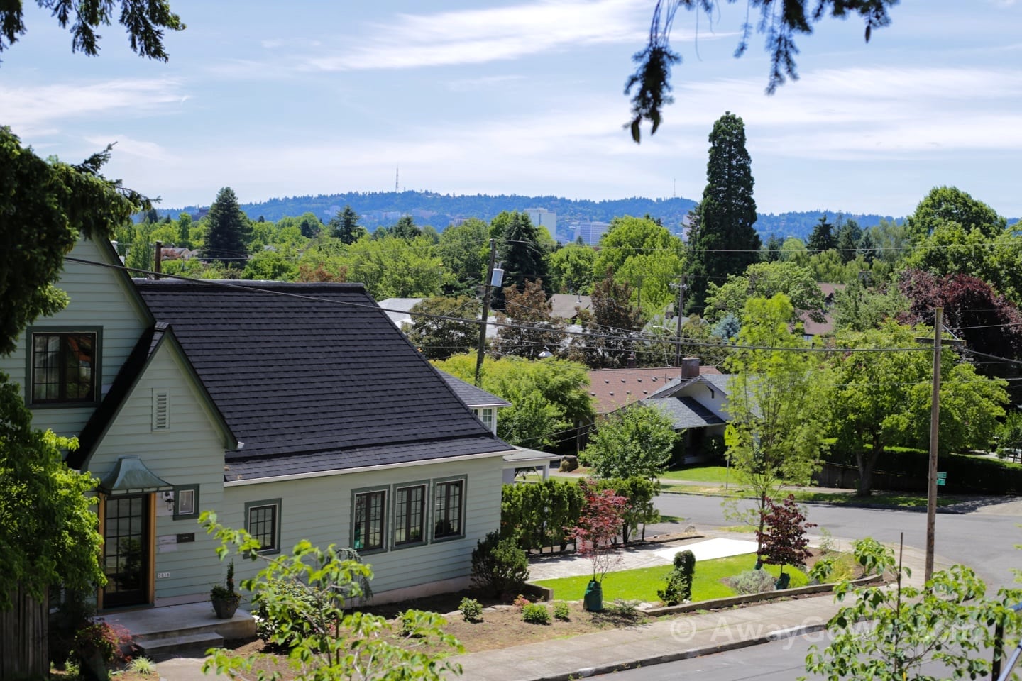
…and views of downtown Portland and the West Hills.
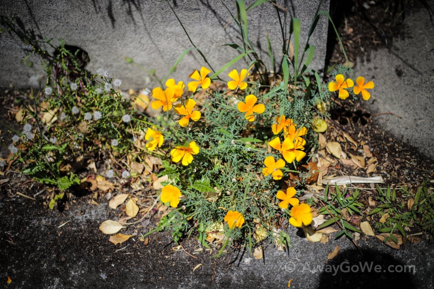
Lots of colorful wildflowers this time of year.
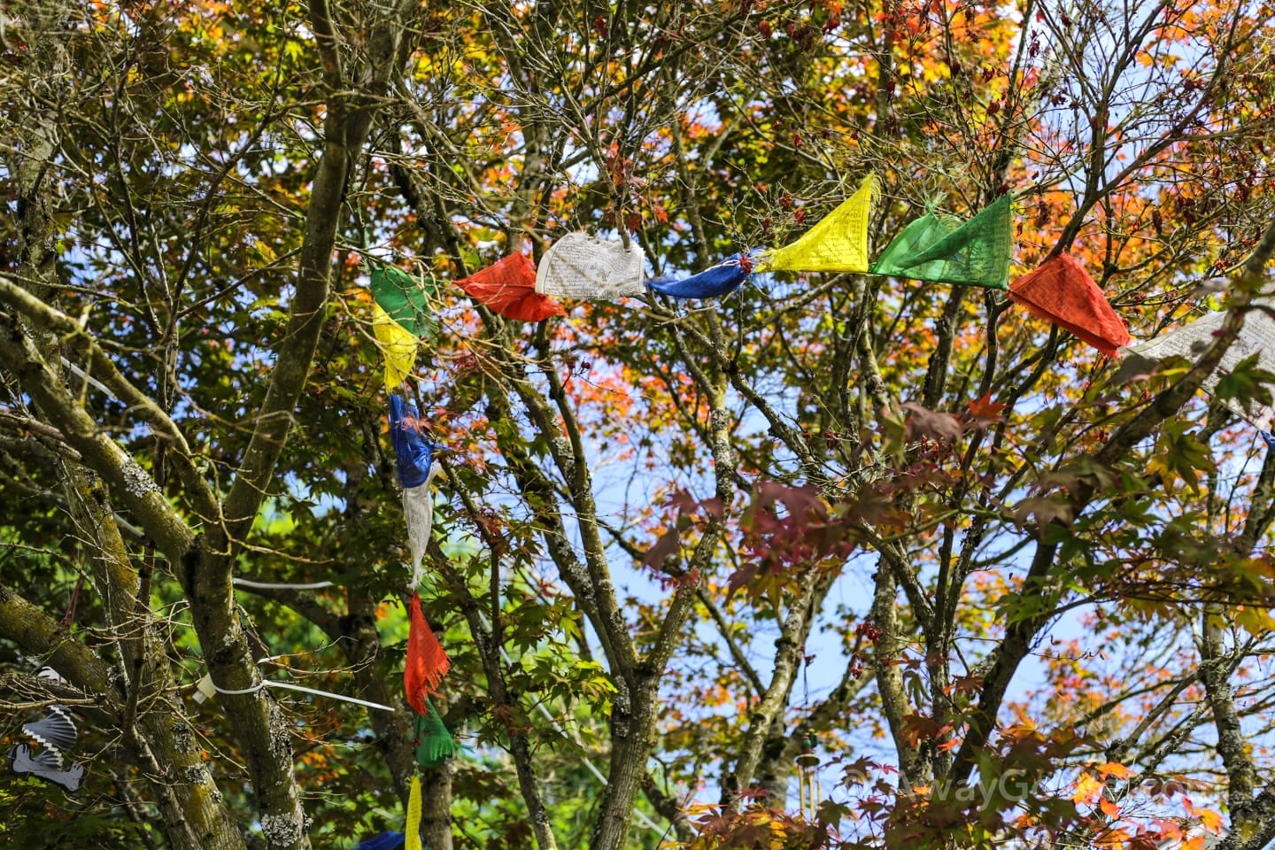
Tibetan prayer flags in a tree.
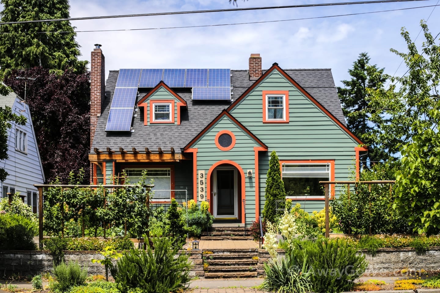
Going solar.
After three hours, 5.5 miles, and of course, some 400 stairs, we made it back to the beginning–NE Sandy Blvd. Our reward? Laurelwood Public House & Brewery!
Healthy lettuce wrap for the Missus:

And an equally healthy snack for the Mister. Bite-sized chimichangas and Tree Hugger Stout!

More Unique Places to Visit in Oregon
Portland Area
- 6 Wonderful Willamette Valley Wine Tours from Portland
- Pittock Mansion Hike: Wildwood + Lower Macleay Trail
- Leach Botanical Garden: Portland Hidden Wonder
- Trillium Lake Hike in Oregon: All-Season Visitor’s Guide
Around Oregon